
Best viewed with:

Park and Area Maps of the Sierra Nevada Region
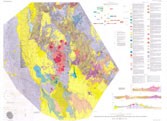 |
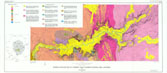
Geologic Map of the Coso Volcanic Field and
Adjacent Area, Inyo County, California
|
 |
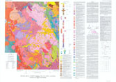
Pre-Tertiary bedrock geologic map of the Mariposa
1 degree by 2 degree quadrangles
|
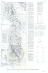 |
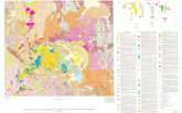
Geologic
Map of the Owens Peak and Little Lake Canyon Wilderness Study
Areas, Inyo and Kern Counties, California |
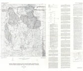 |
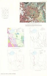
Mineral Resource Potential Map of the South
Sierra Wilderness the South Sierra Roadless Area, Inyo and Tulare Counties, California |
 |
Bedrock
Geologic Map of Yosemite Valley, Yosemite National Park, California |
 |
Geologic
Map of Yosemite National Park and Vicinity, California
|
 |
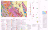
Geologic
Map of Long Valley Caldera, Mono-Inyo Craters Volcanic Chain, and
Vicinity |
 |
Landsat
Satellite Image of |
Right click to "Save as..."
(The worldfiles are georeferenced to the cropped image files only.)
| Coso Volcanic Field | Full (18.0 MB) | Cropped (13.2 MB) | Worldfile |
| Bedrock of Mariposa | Full (16.6 MB) | Cropped (8.69 MB) | Worldfile |
| Owens PeakLittle Lake Canyon | Full (17.8 MB) | Cropped (7.11 MB) | Worldfile |
| South Sierra Wilderness | Full (13.7 MB) | Cropped (1.98 MB) | Worldfile |
| Bedrock of Yosemite | Full (12.3 MB) | Cropped (8.49 MB) | Worldfile |
| Yosemite National Park | Full (16.1 MB) | Cropped (9.05 MB) | Worldfile |
| Long Valley Caldera | Full (17.9 MB) | Cropped (12.5 MB) | Worldfile |
| Long Valley Caldera - Landsat | Full (3.84 MB) | Cropped (1.79 MB) | Worldfile |
Website
created by Nolan Caudill
(mailto: ncaudill@email.unc.edu)
January 2005